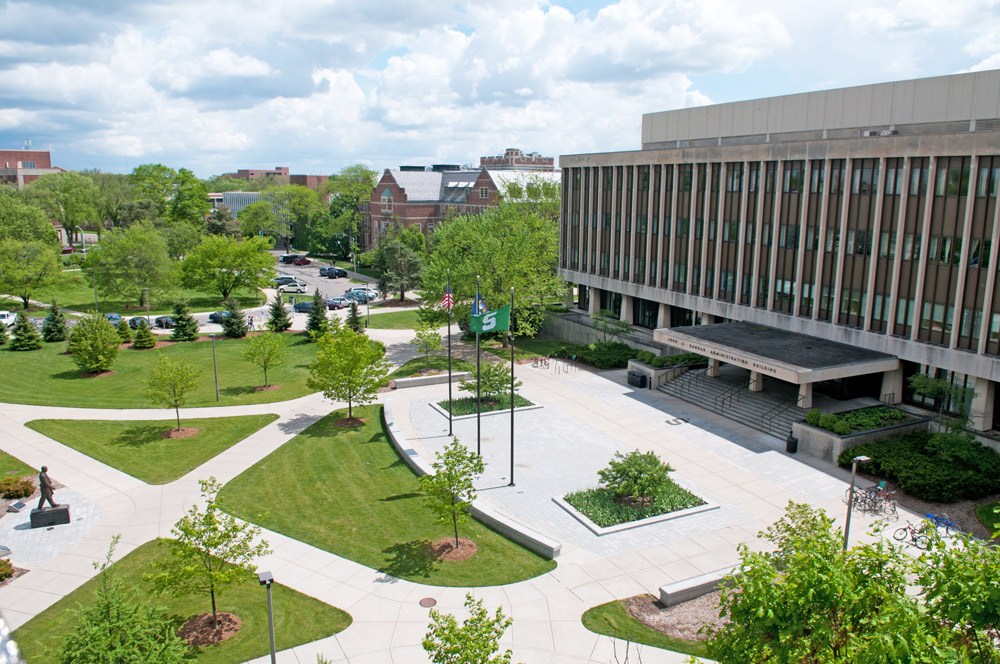
Imagery is offered by the Remote Sensing and Geographic Information Science Research and Outreach Services and MSU Libraries | Map Library.
Remote Sensing and Geographic Information Science Research and Outreach Services (RS&GIS)
The RS&GIS Aerial Imagery Archive at Michigan State University is the best place to acquire historic imagery needed to complete your research or analysis. Our Archive is home to the largest repository of remotely-sensed imagery for Michigan.
FEATURES
- Aerial imagery archive
- Online image services
- Image manipulation (registration, rectification/orthorectification, color-balancing, mosaicking, etc.)
- Image Interpretation (analog and digital, single and multiband)
- LiDAR surface creation (slope, aspect, contours, etc.)
- Multispectral and hyperspectral image analysis
- Impervious surface assessment
PREREQUISITES
- None
CHARGES
- On campus staff rate $90 per hour; Off campus staff rate $100
- On and off campus student rate $30 per hour
- Images in the MI aerial archive $30 each
REQUEST
- Contact Nick Weil (weilnich@msu.edu) for more information.
MSU Libraries | Map LibraryThe MSU GIS librarian can help patrons find freely available remote sensing/imagery data.
FEATURES
- Data finding assistance
PREREQUISITES
- None
CHARGES
- None (free)
REQUEST
- Email Amanda Tickner, GIS Librarian: atickner@msu.edu or contact the Map Library: https://lib.msu.edu/branches/map/askmap/


